CTS-CGIS - GIS Technology, Certificate of Technical Studies
Download as PDF
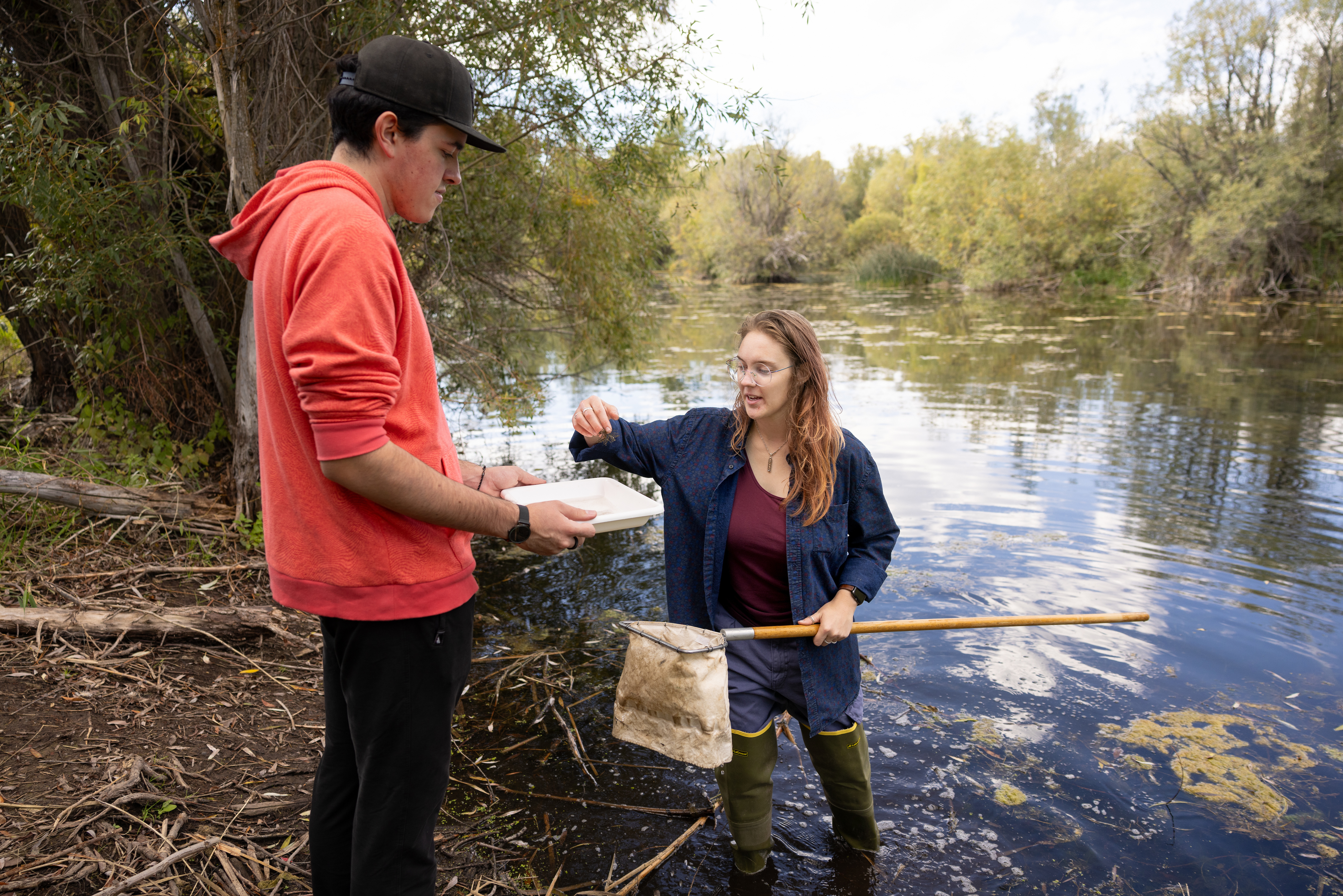
The Certificate of Technical Studies (CTS) in GIS Technology provides students with foundational knowledge and technical skills in geospatial technologies with an emphasis on coastal applications. Students learn GIS map design fundamentals, thematic mapping, statistical cartography, the relationship of mapping to GIS, essential elements of GIS, data acquisition and analysis, visualization of output, remotely sensed imagery and GIS, GIS functions and associated applications, and spatial decision support systems. These skills prepare graduates to organize, analyze, and communicate spatial data.
Graduates are prepared for entry-level positions such as a GIS Technician, Geospatial Technician, Environmental Field Technician, and Surveying Assistant in industries including environmental consulting, coastal restoration, natural resource management, state and federal agencies, engineering, and utilities. Students earn the Ducks Unlimited Ecology Conservation and Management Certification as part of the curriculum. This two-semester certificate is a stackable credential that applies toward the Technical Diploma in Coastal Studies and GIS Technology, which leads to the Associate of Applied Science in Coastal Studies and GIS Technology.